Alois Musil
The Middle Euphrates: A Topographical Itinerary
New York 1927
Image Plates
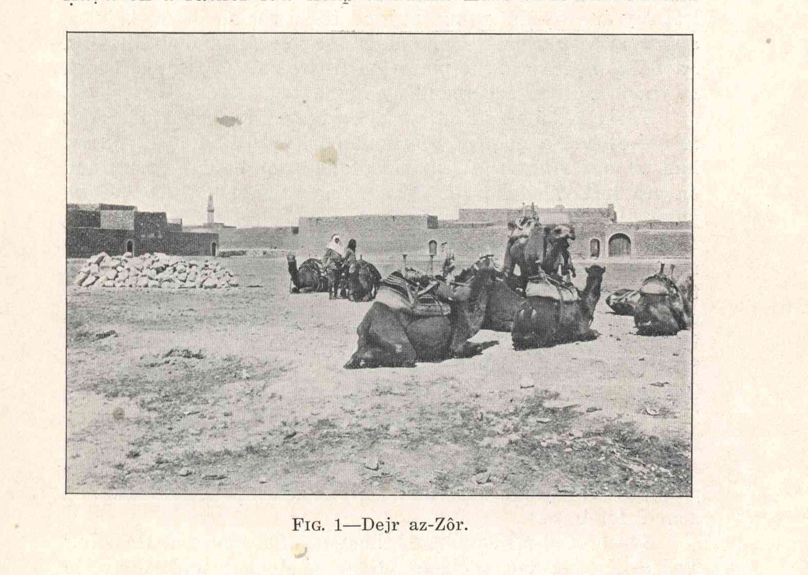
Fig. 1 -
Dejr az-Zôr
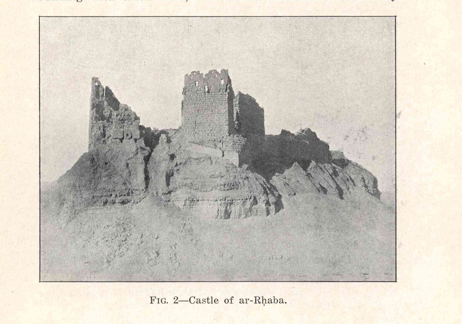
Fig. 2 -
Castle if ar-Rḥaba
Fig. 3 -
Sanctuary of aš-Šejẖ ʿAli.
Fig. 4 -
Aṣ-Ṣâlḥijje, plan of ruins.
Fig. 5 -
Aṣ-Ṣâlḥijje, a gate
Fig. 6 -
From al-Ğâbrije looking southeast.
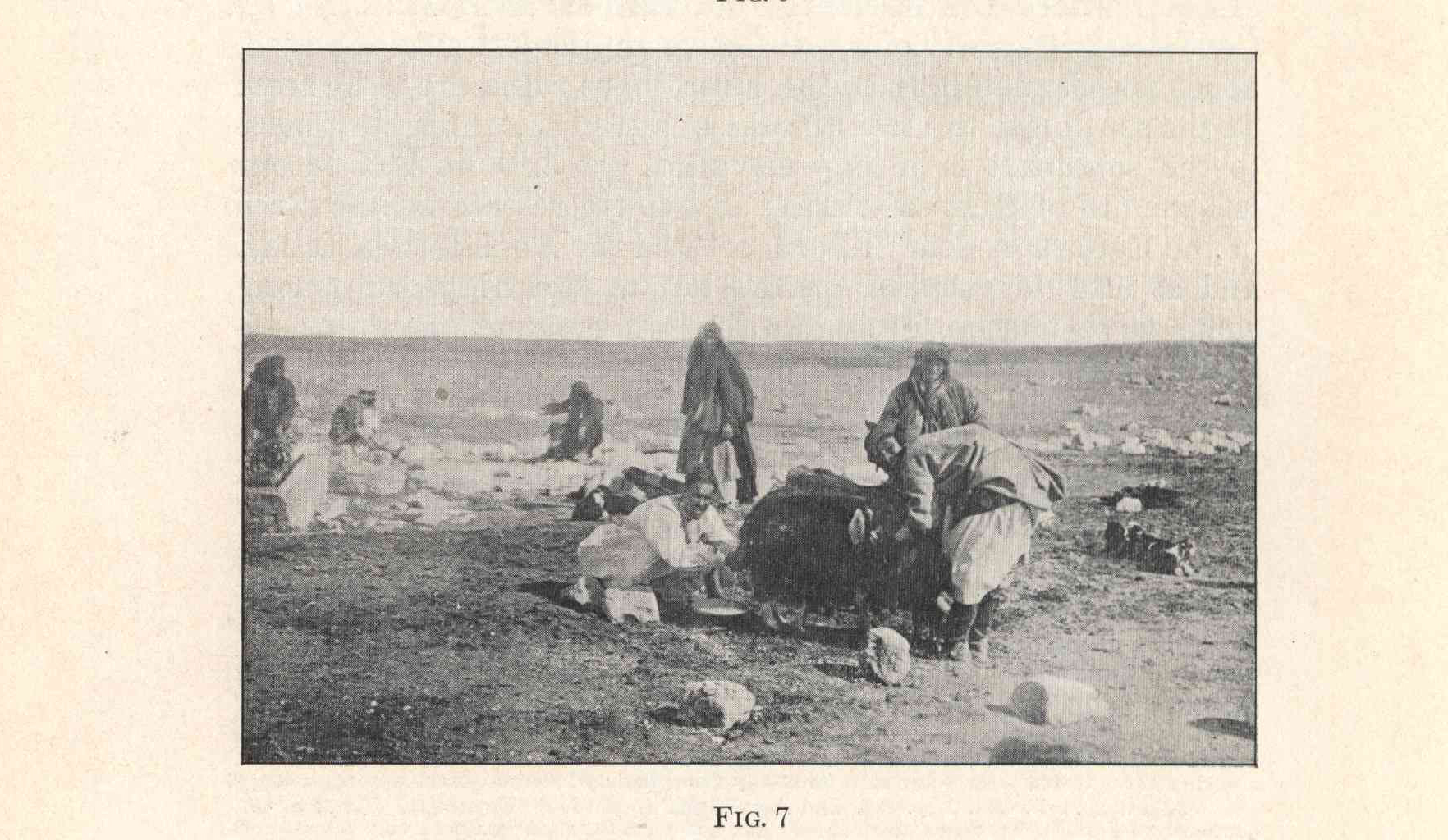
Fig. 7 -
Milking goats at al-Ğâbrije
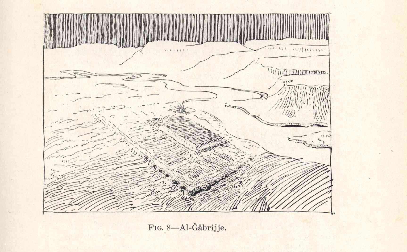
Fig. 8 -
al-Ğâbrije
Fig. 9 -
Flush wheel, fields of al-Haffe
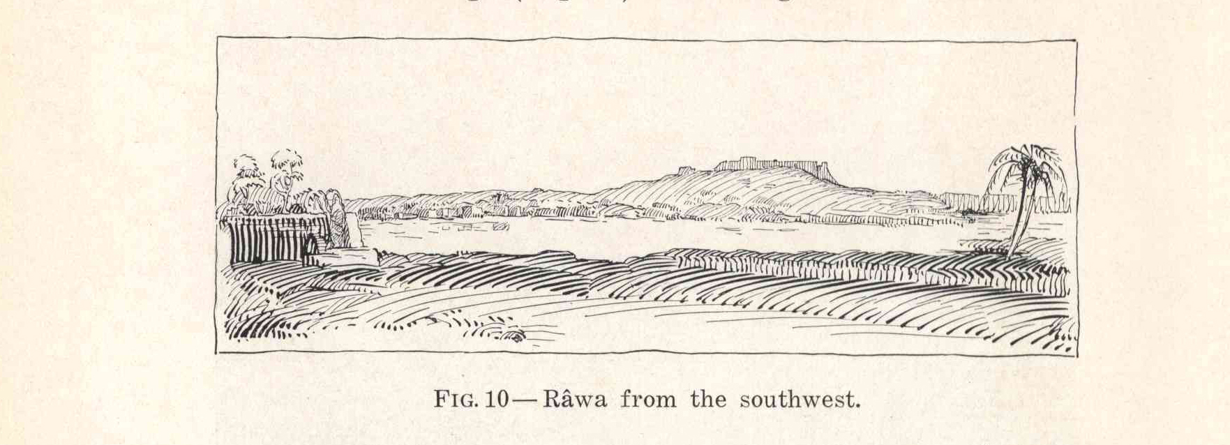
Fig. 10 -
Râwa from the southwest.
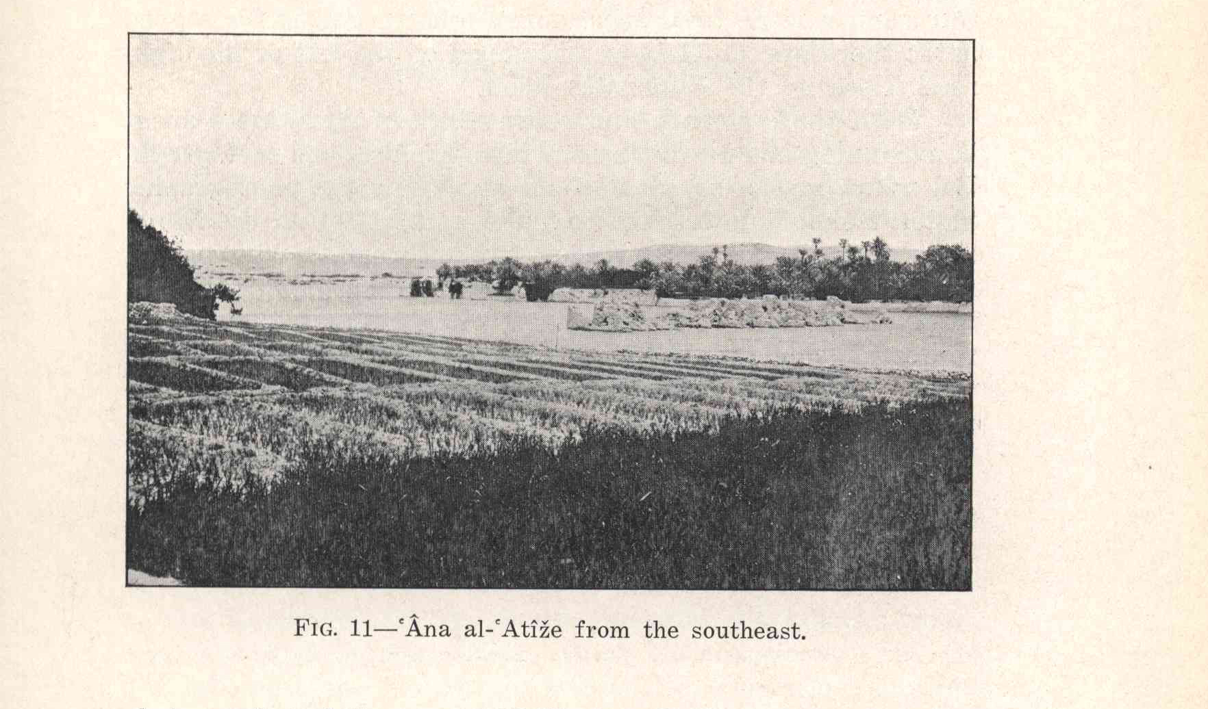
Fig. 11 -
ʿÂna al-ʿAtîże from the southeast.
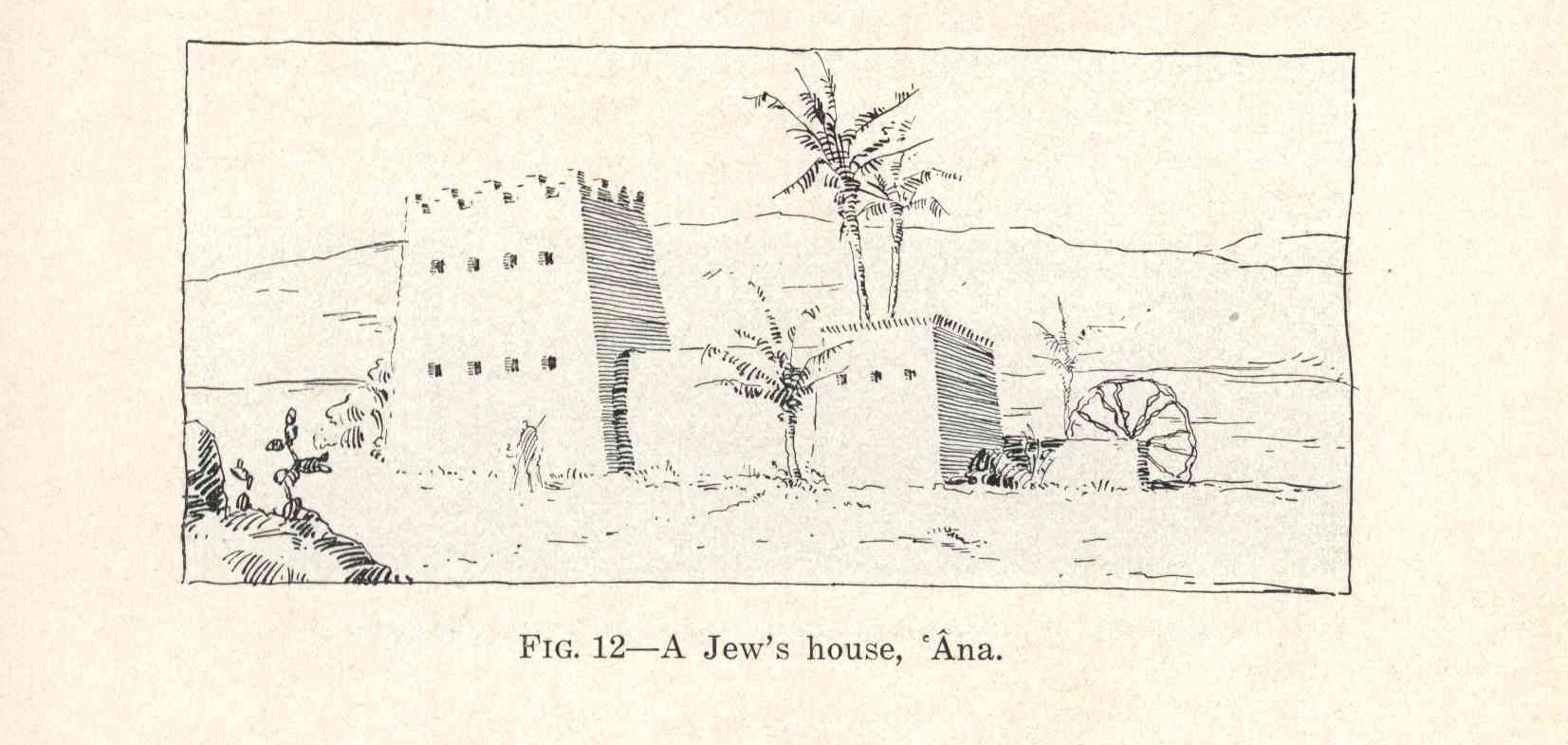
Fig. 12 -
A Jew's house, ʿÂna.
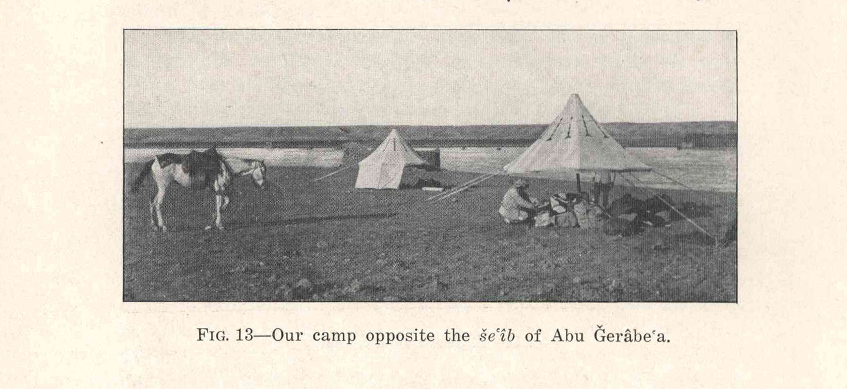
Fig. 13 -
Our camp opposite the šeʿîb of Abu Ğerâbeʿa.
Fig. 14 -
Tomb of aš-Šejẖ Ḫadîd.
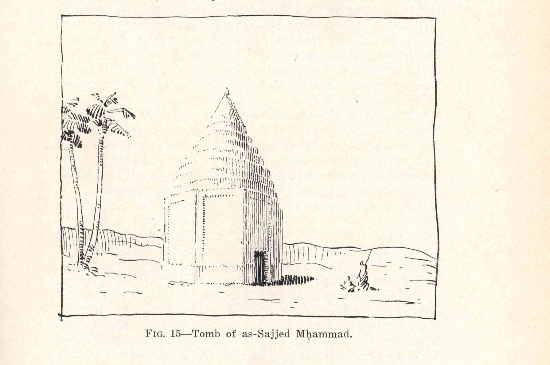
Fig. 15 -
Tomb of as-Sajjed Mḥammad.
Fig. 16 -
Boat on the Euphrates near al-Kûfa.
Fig. 17 -
Bridge over canal of Saʿde.
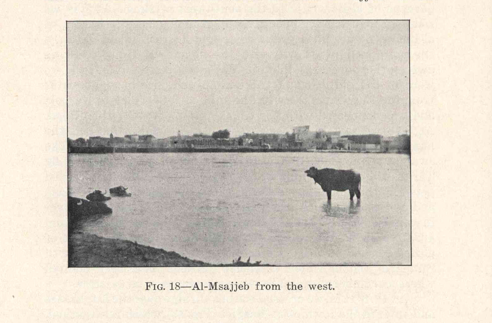
Fig. 18 -
Al-Msajjeb from the west.
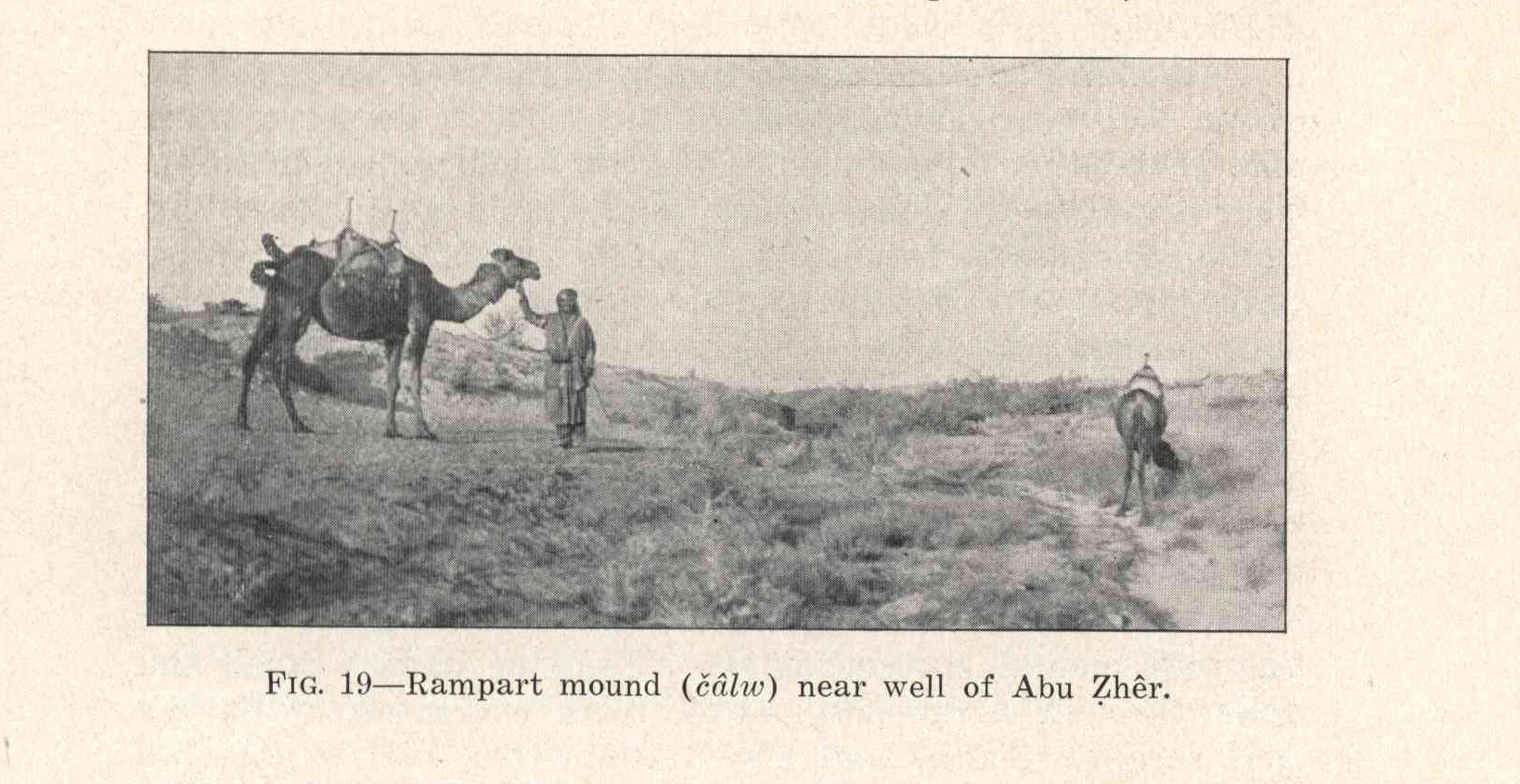
Fig. 19 -
Rampart mound
(čâlw)
near well of Abu Ẓhêr.
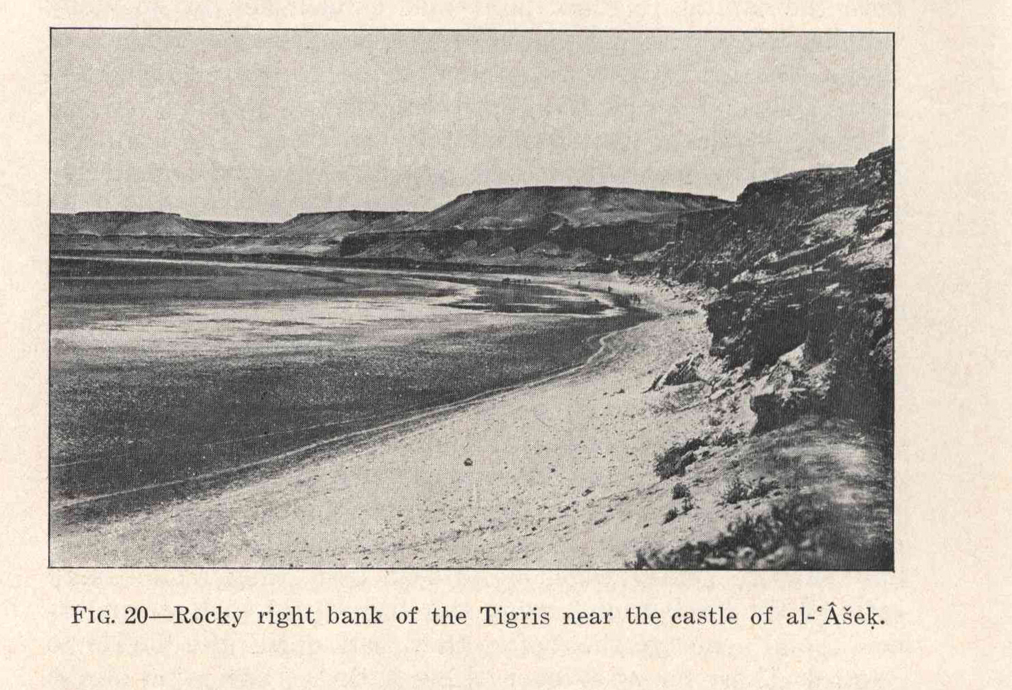
Fig. 20 -
Rocky right bank of the Tigris near the castle of al-ʿšeḳ.
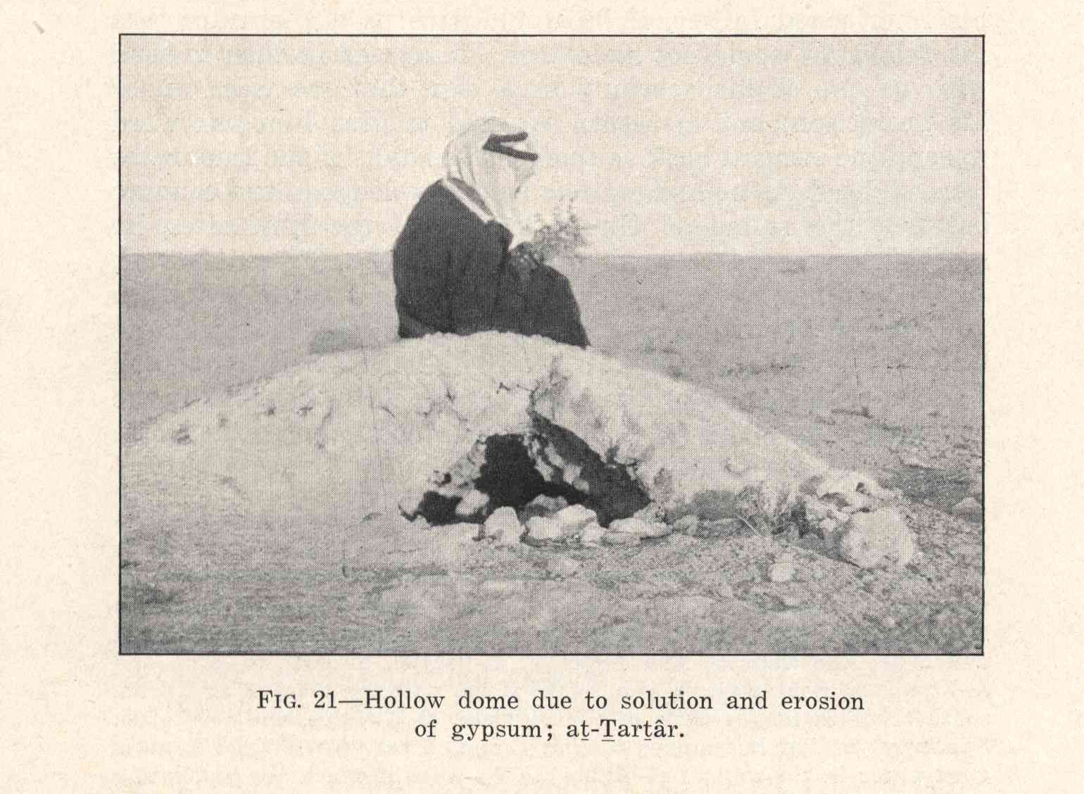
Fig. 21 -
Hollow dome due to solution and erosion of gypsum; aṭ-Ṭarṭâr.
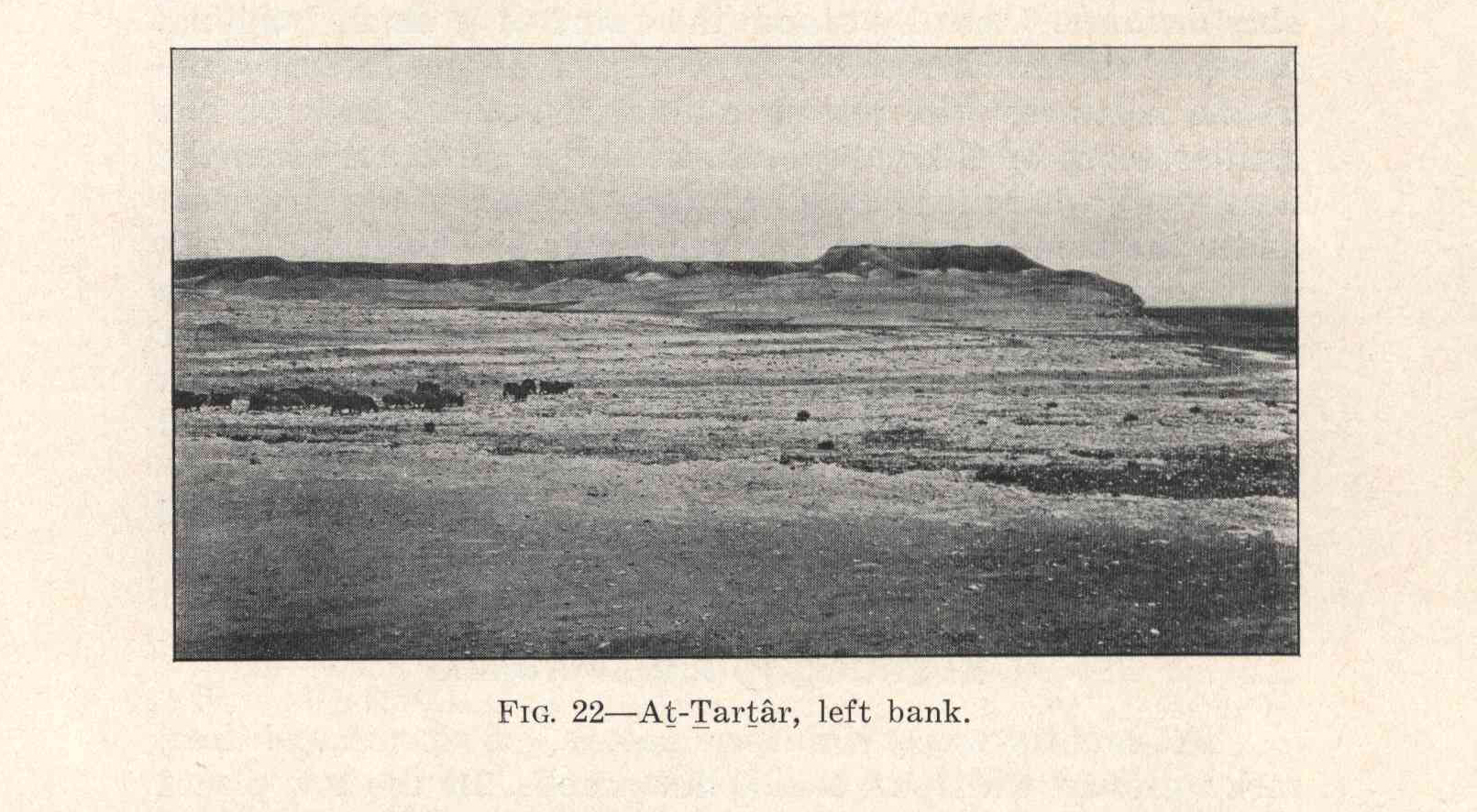
Fig. 22 -
Aṭ-Ṭarṭâr, left bank.
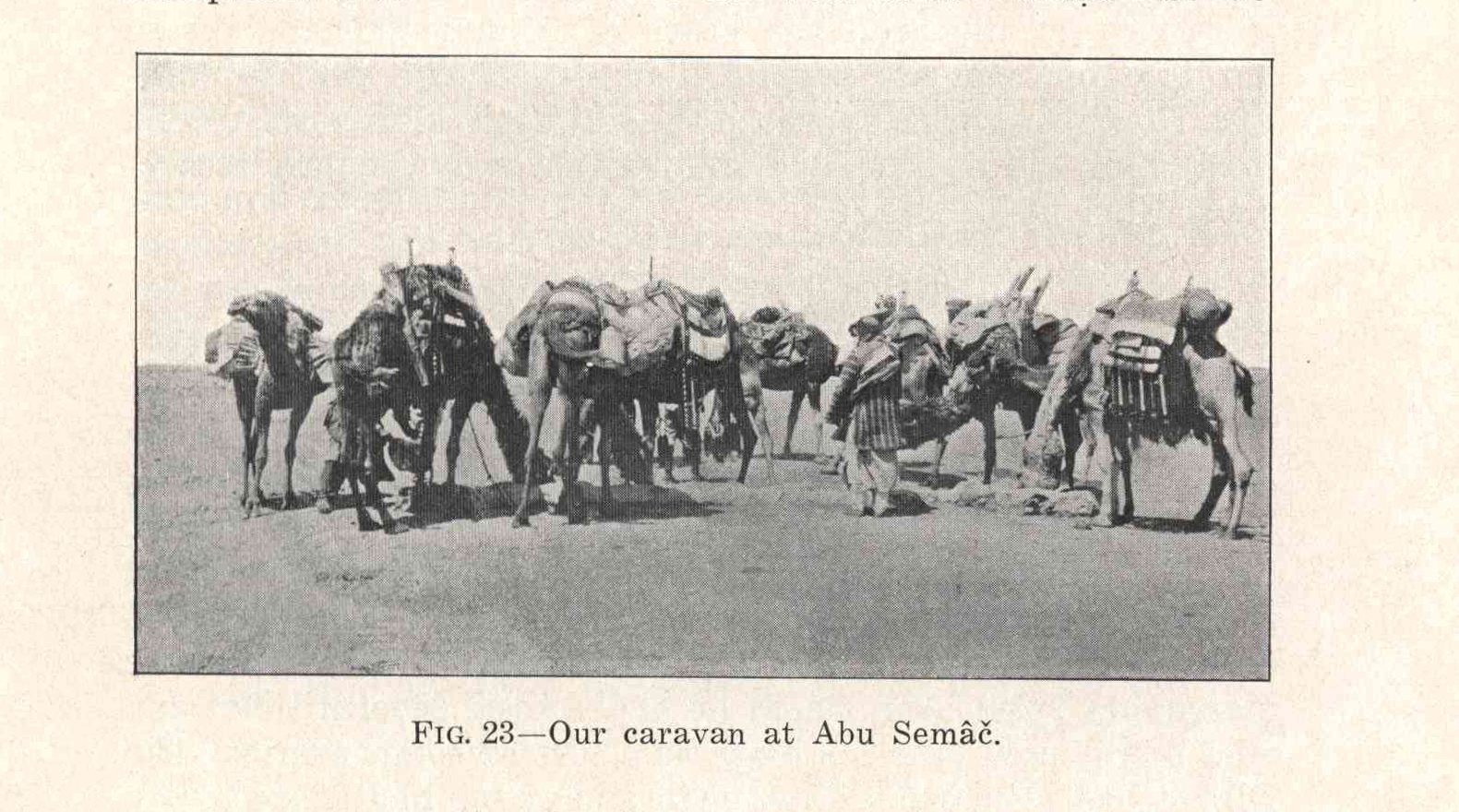
Fig. 23 -
Our caravan at Abu Semâč.
Fig. 24 -
Our camp near Râwa.
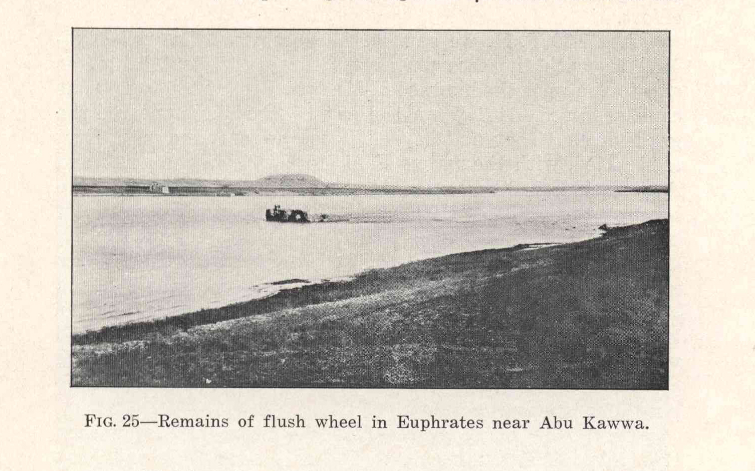
Fig. 25 -
Remains of flush wheel in Euphrates near Abu Kawwa.
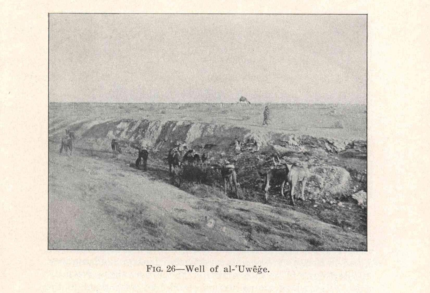
Fig. 26 -
Well of al-ʿUwêğe.
Fig. 27 -
Salina of al-ʿEdejd.
Fig. 28 -
Ḳârt al-Ḥaṣân from the south.
Fig. 29 -
Salina of al-ʿEdejd.
Fig. 30 -
Khan of aṣ-Ṣwar from the east.
Fig. 31 -
Well of al-Mâlḥa.
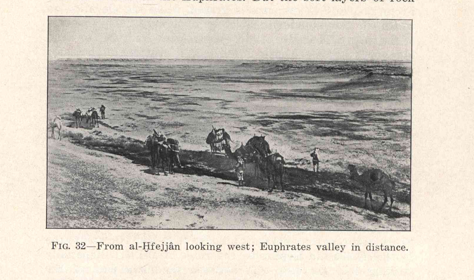
Fig. 32 -
From al-Ḫfejjân looking west; Euphrates valley in distance.
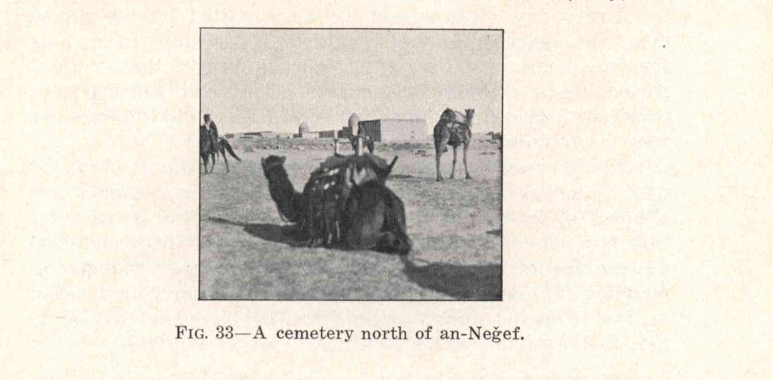
Fig. 33 -
A cemetery north of an-Neğef.
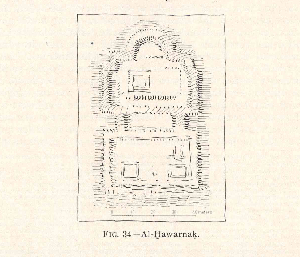
Fig. 34 -
Al-Ḫawarnaḳ.
Fig. 35 -
Al-Ḳâdesijje from the north.
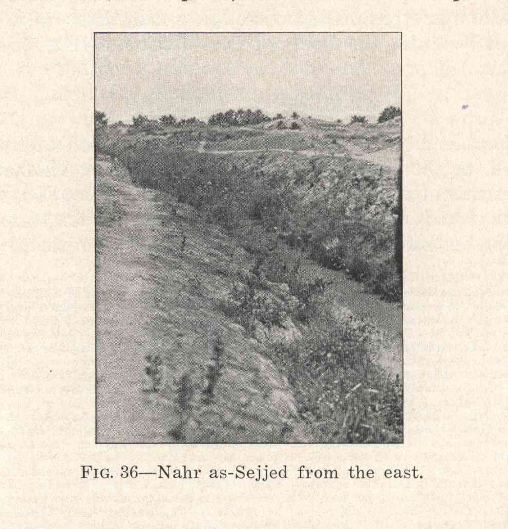
Fig. 36 -
Nahr as-Sejjed from the east.
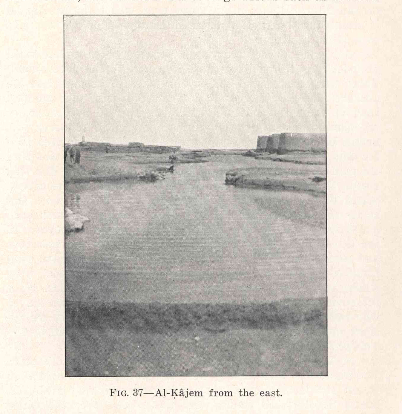
Fig. 37 -
Al-Ḳâjem from the east.
Fig. 38 -
Al-Ḳâjem, the fortress.
Fig. 39 -
Al-Ḳâjem, the spring.
Fig. 40 -
Gardens of al-Kûfa from the west.
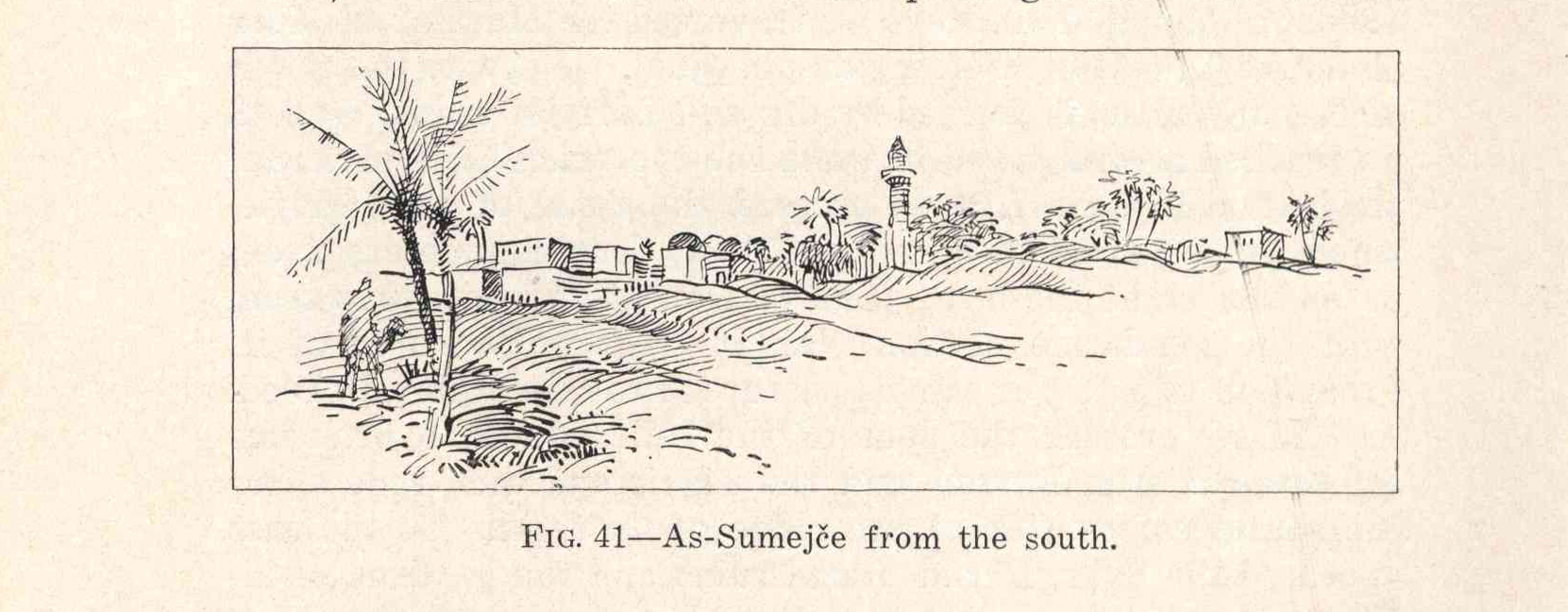
Fig. 41 -
As-Sumejče from the south.
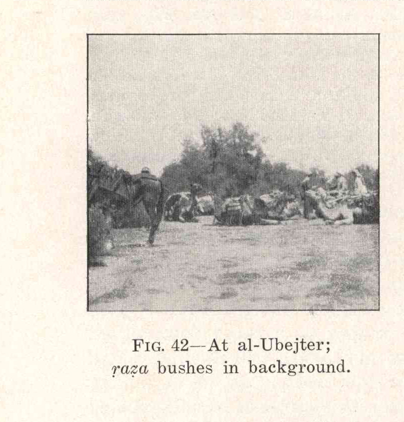
Fig. 42 -
At al-Ubejter;
ṛaẓa
bushes in background.
Fig. 43 -
Southern end of Umm Raḥal.
Fig. 44 -
Al-Waššâš from the east.
Fig. 45 -
Fisherman with
fâle
at al-Waššâš.
Fig. 46 -
Defile along the Euphrates, al-Maḥîž.
Fig. 47 -
Settlement of Ḥbên.
Fig. 48 -
Telbes from the east.
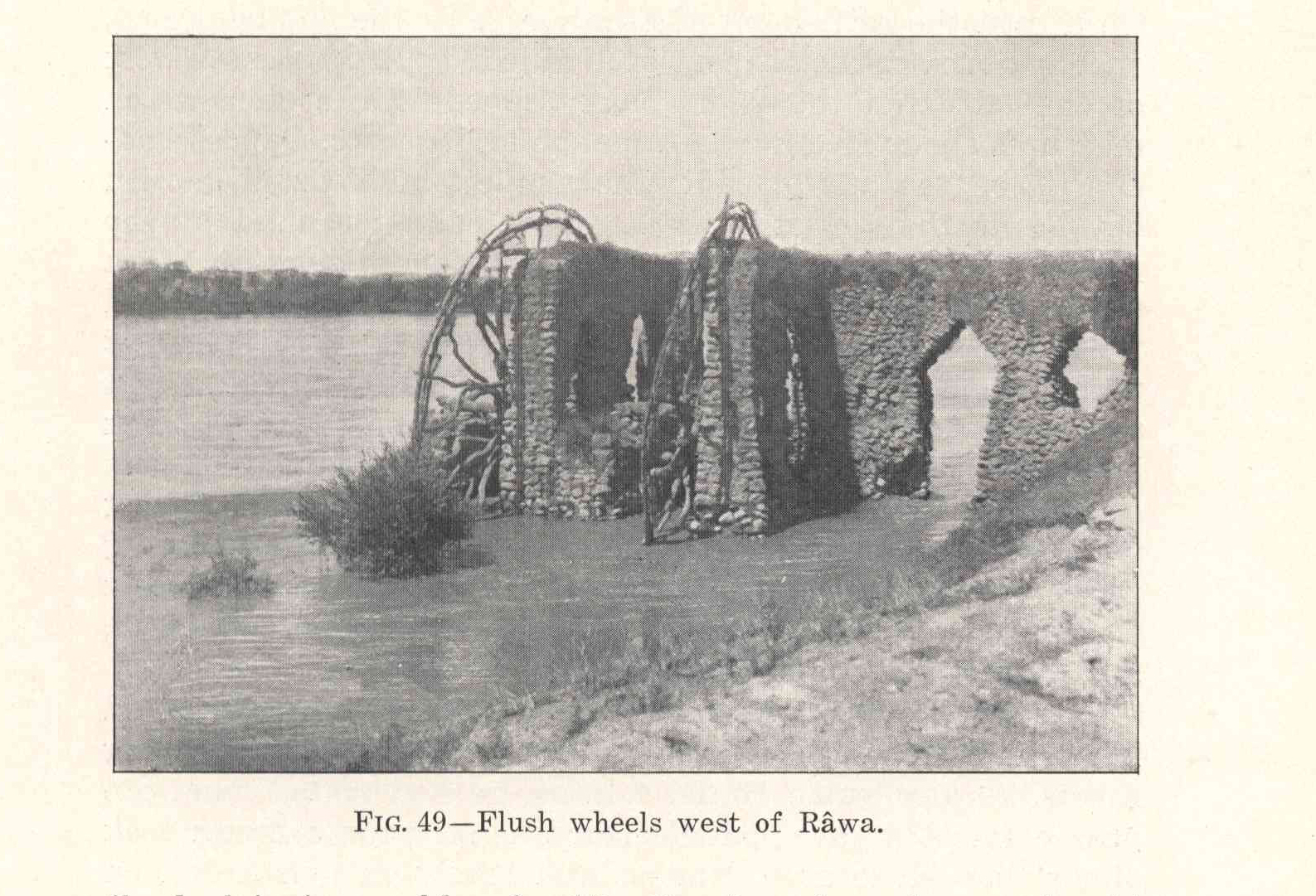
Fig. 49 -
Flush wheels west of Râwa.
Fig. 50 -
Zôr al-Kišme.
Fig. 51 -
Plan of ač-Čaʿâbi ruins.
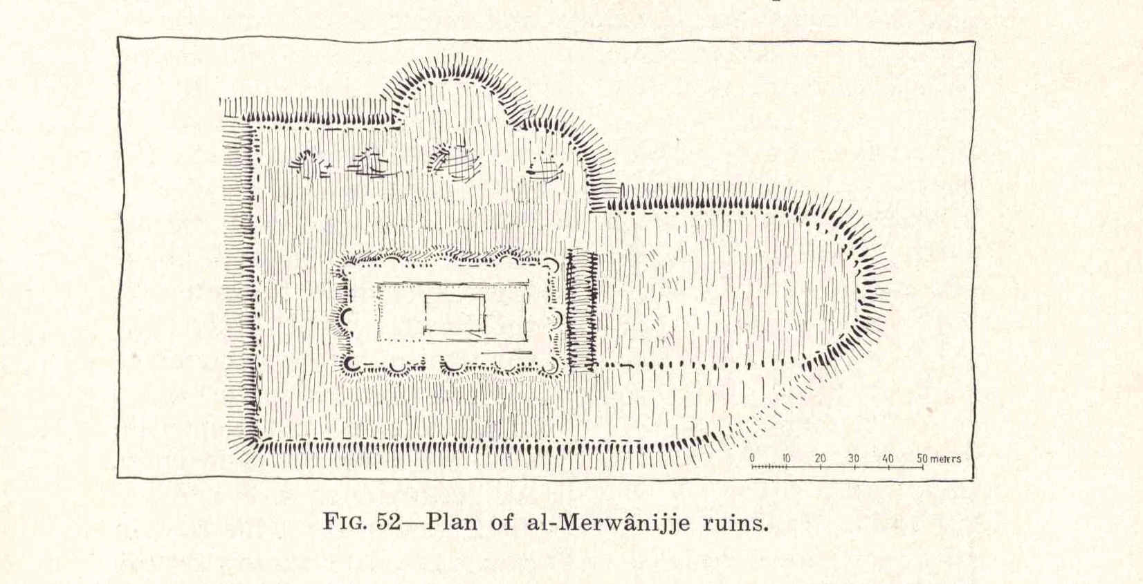
Fig. 52 -
Plan of al-Merwânijje ruins.
Fig. 53 -
Plan of al-Msâjeḥ ruin.
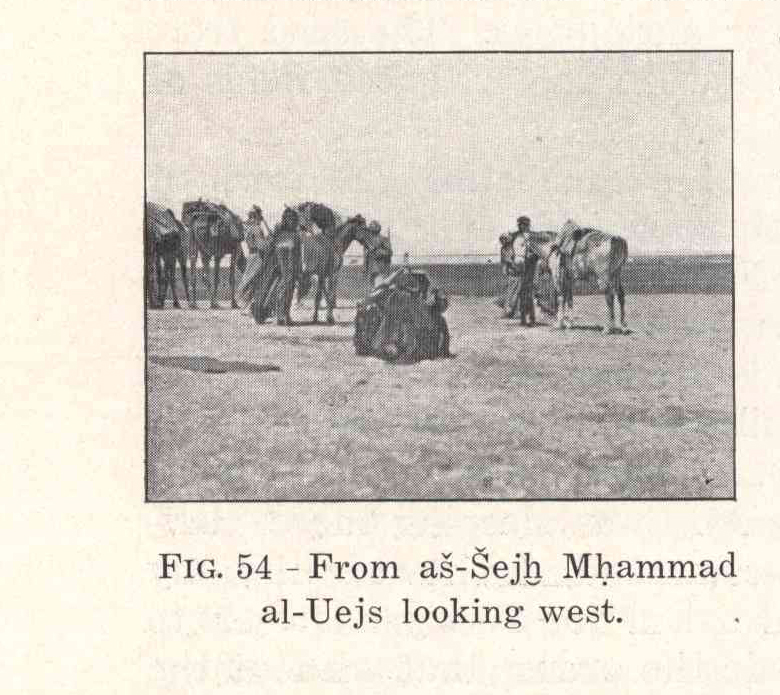
Fig. 54 -
From aš-Šejẖ Mḥammad al-Uejs looking west.
Fig. 55 -
Ṭarfa
pole on a grave.
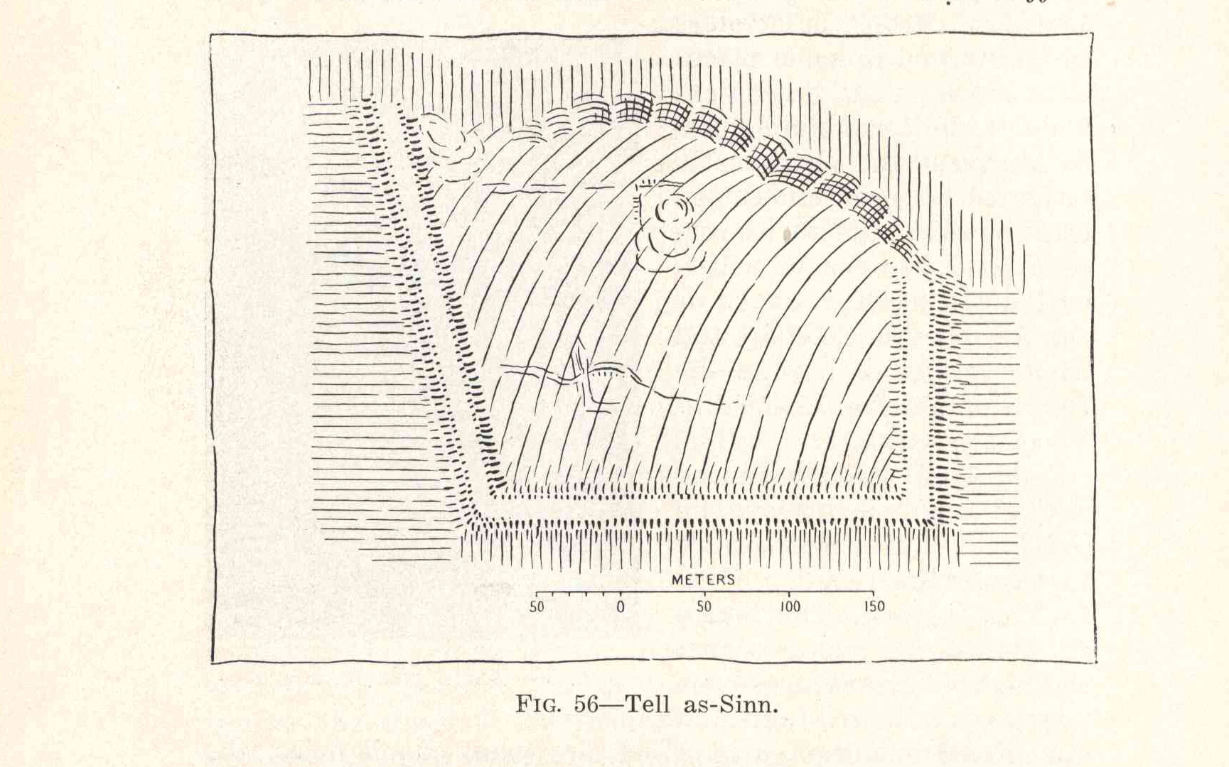
Fig. 56 -
Tell as-Sinn.
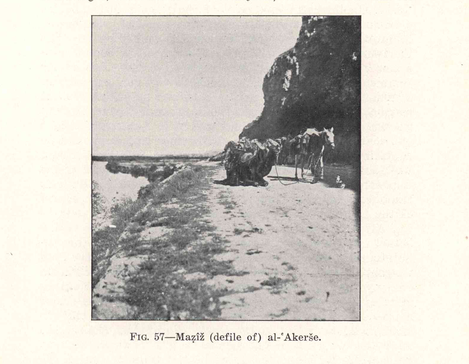
Fig. 57 -
Maẓîž (defile of) al-ʿAkerše.
img_plates_musil.html
(8/2010)